MAPPING 2D/3D
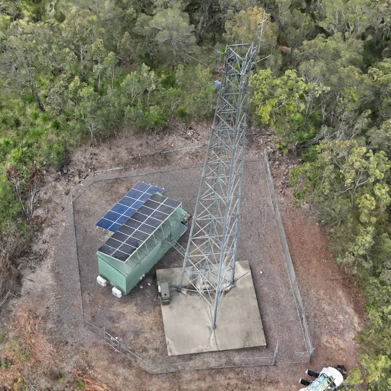
Our drone mapping service caters to a range of industries, including construction, mining, agriculture, environmental studies, and many more. Our mapping solutions are customized to suit the unique needs of each client.
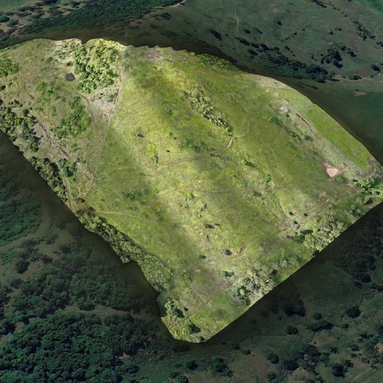
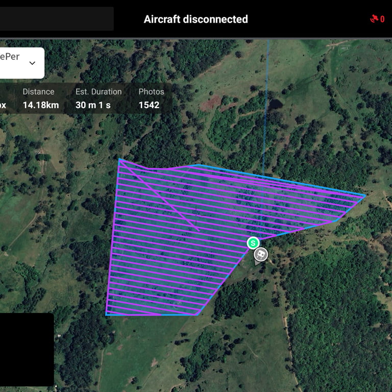
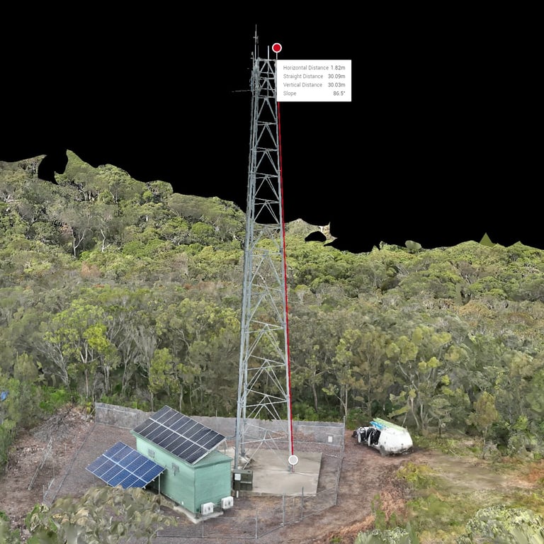
We use state-of-the-art technology to collect and process data, ensuring high-quality results in a timely and efficient manner. Using specialised software we can provide volume, area, length and terrain elevation measurements.
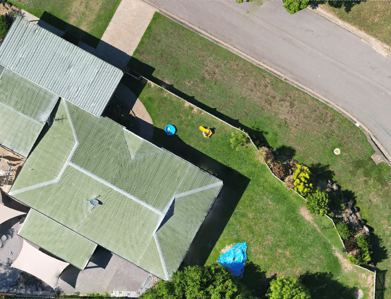
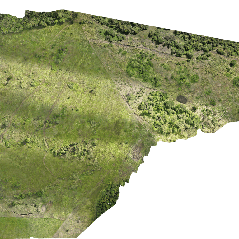
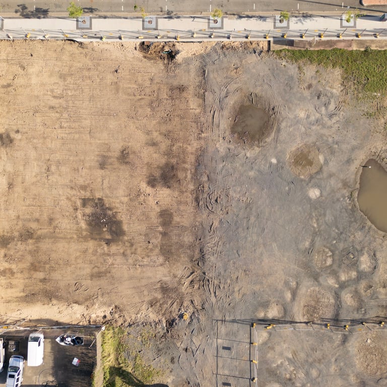
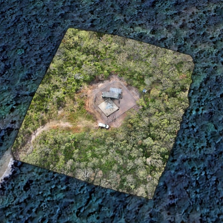
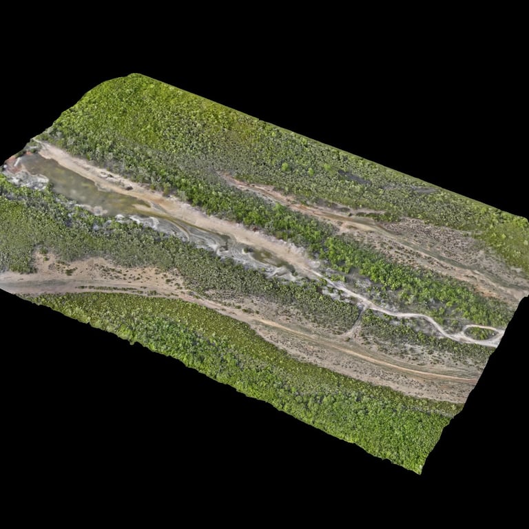
Orthomosaic mapping is the collection of multiple overlapping images mosaicked together to form a single high quality image. Geometric distortion correction and colour balancing is performed to ensure the results are highly accurate and represent a true overall map.
